The US Virgin Islands

Moonstruck's home waters. Board in St. Thomas, and by afternoon you're anchored off a national-park beach on St. John, with no border to cross all week.

Anchorage by anchorage

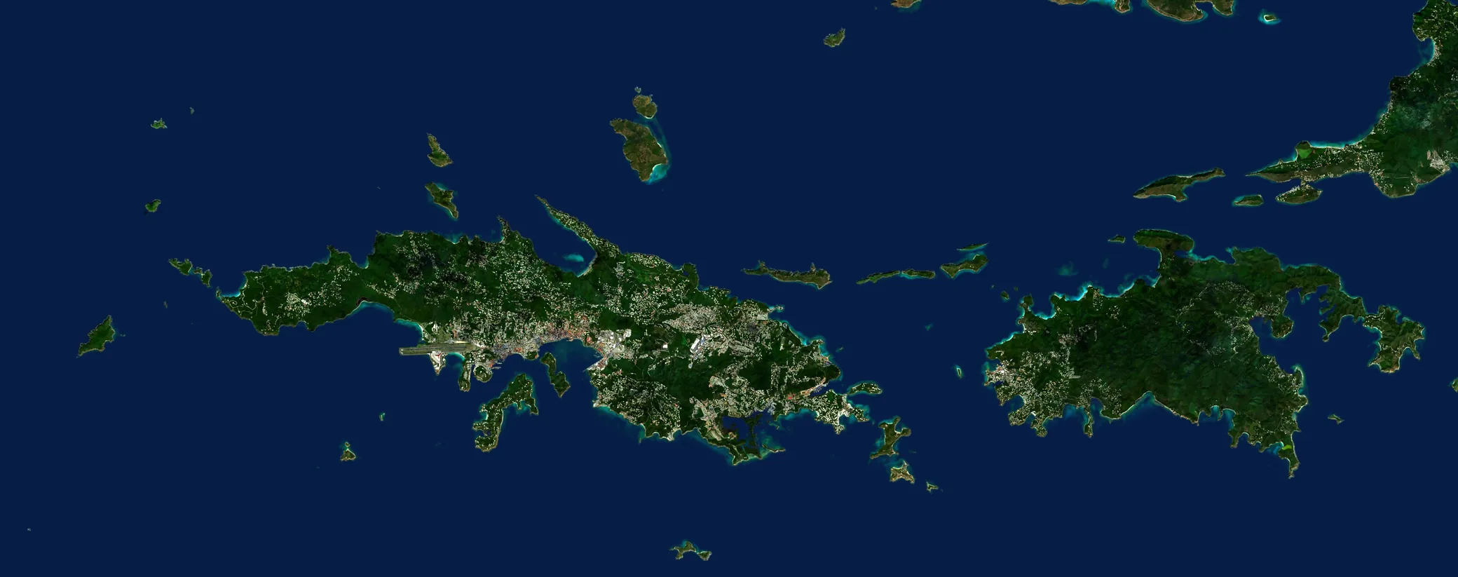
Numbered on the chart and described below, roughly in the order you might sail them. Hover a name to find it on the chart.

Satellite view of the US Virgin Islands
123456789
Coastline from OpenStreetMapNot for navigation

Drag the chart to pan

  1. Charlotte AmalieSt. Thomas · Yacht Haven Grande
  2. Christmas CoveGreat St. James
  3. Honeymoon BeachWater Island
  4. Caneel & HawksnestSt. John · north shore
  5. Trunk & Cinnamon BaysSt. John · north shore
  6. Maho & Francis BaysSt. John · north shore
  7. Leinster Bay & Waterlemon CaySt. John · north shore
  8. Cruz BaySt. John
  9. Coral Bay & Hurricane HoleSt. John · east end
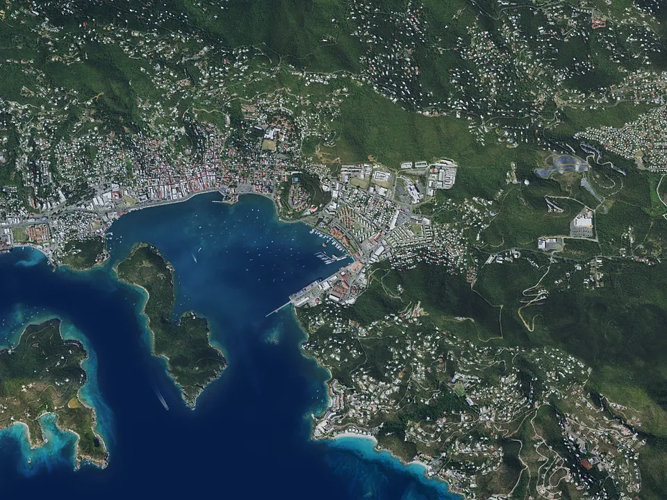
Satellite view of Charlotte Amalie
1
Chart inset18°20.1′N 64°55.3′W

Charlotte Amalie

St. Thomas · Yacht Haven Grande

Where the week begins. Moonstruck boards at Yacht Haven Grande Marina, a short taxi from the airport in the harbor of the territory's capital. The captain briefs you on Moonstruck's safety features and gets you underway.

The harbor is busy and best left the same afternoon. The first anchorage is under an hour away.
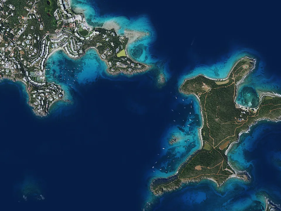
Satellite view of Christmas Cove
2
Chart inset18°18.6′N 64°50.0′W

Christmas Cove

Great St. James

The classic first night: a sheltered cove on the west side of Great St. James, a short sail east of St. Thomas. Snorkeling starts straight off the swim platform, and the floating pizza kitchen anchored in the cove has become a Virgin Islands institution.

Satellite view of Honeymoon Beach
3
Chart inset18°19.0′N 64°57.5′W

Honeymoon Beach

Water Island

Minutes from Charlotte Amalie but a world away: a small crescent of sand on Water Island with a beach bar, beach chairs, and calm, clear water. An easy first or last afternoon when the flight schedule leaves half a day.

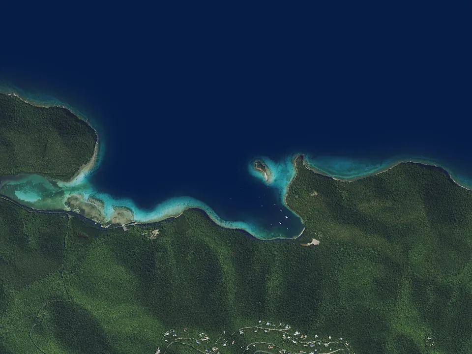
Satellite view of Caneel and Hawksnest
4
Chart inset18°20.6′N 64°47.4′W

Caneel and Hawksnest

St. John · north shore

The first of St. John's national-park bays. Hawksnest is a favorite for an easy swim from the boat to a quiet beach. The beaches of Caneel Bay sit below the grounds of the old resort, a short dinghy ride from Cruz Bay's restaurants.

Satellite view of Trunk and Cinnamon Bays
5
Chart inset18°21.2′N 64°46.2′W

Trunk and Cinnamon Bays

St. John · north shore

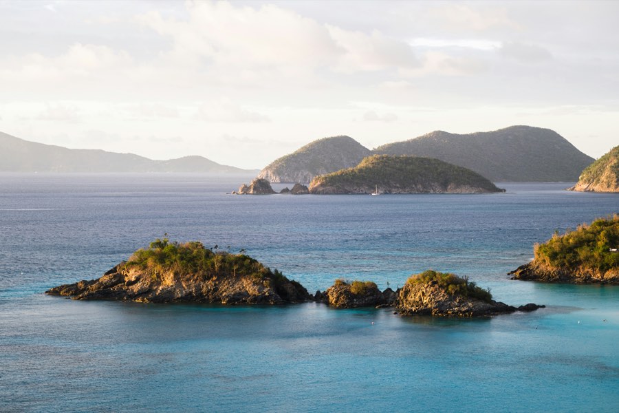
Trunk Bay is the postcard: white sand, a marked underwater snorkel trail along the cay, and the view from the road above that every visitor photographs. Cinnamon, next door, has a longer beach, water sports, and hiking trails up into the park.

Satellite view of Maho and Francis Bays
6
Chart inset18°21.5′N 64°44.8′W

Maho and Francis Bays

St. John · north shore

Calm, shallow, and grassy underneath, which is why the turtles are here. A gentle anchorage for paddleboarding and a long swim, with a beach bar behind the sand at Maho and nothing at all behind Francis.

Satellite view of Leinster Bay and Waterlemon Cay
7
Chart inset18°21.9′N 64°43.4′W

Leinster Bay and Waterlemon Cay

St. John · north shore

Some of the best snorkeling on St. John is around the little cay at the mouth of the bay, and the trail from the beach leads to the Annaberg sugar plantation ruins on the hill above it. Quiet at night, with Tortola's lights across the Narrows.

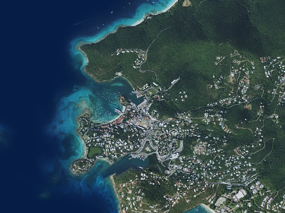
Satellite view of Cruz Bay
8
Chart inset18°20.0′N 64°47.9′W

Cruz Bay

St. John

St. John's small, easygoing town: customs clearance on the return from the British Virgin Islands, then shopping, dining, and sundowners at the Windmill Bar with a view over the Sir Francis Drake Channel.

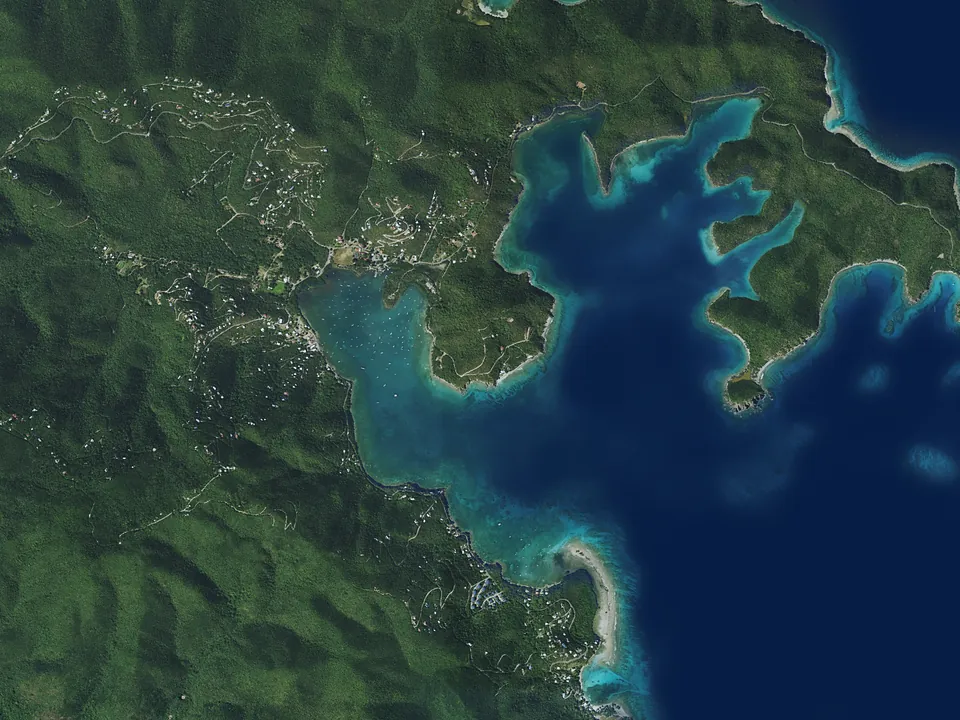
Satellite view of Coral Bay and Hurricane Hole
9
Chart inset18°20.6′N 64°42.7′W

Coral Bay and Hurricane Hole

St. John · east end

St. John's quiet east end: the mangrove-lined fingers of Hurricane Hole inside the national monument, and the laid-back harbor of Coral Bay beyond them, far from the crowds. A paddleboard morning, then lunch at a bar where the goats outnumber the tourists.

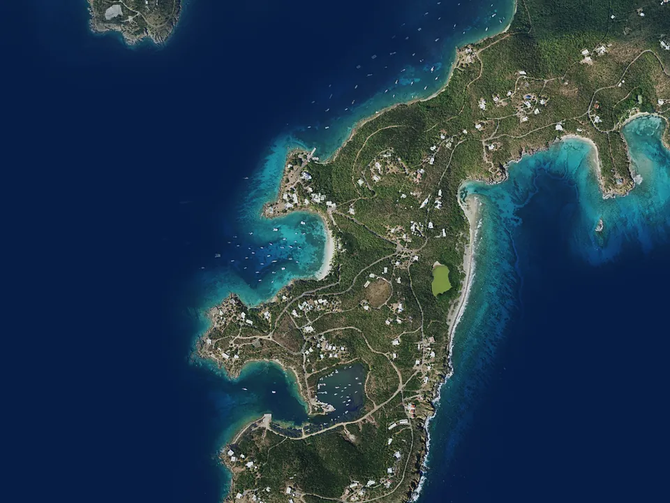
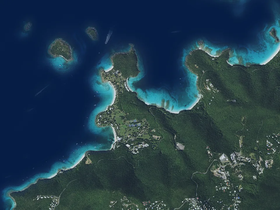
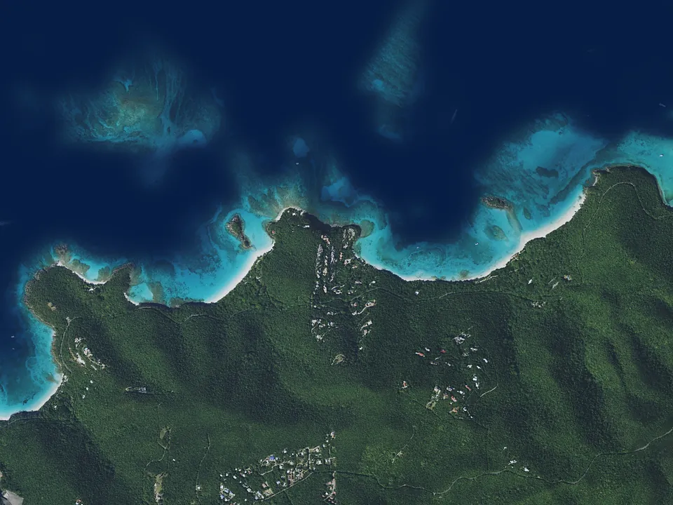
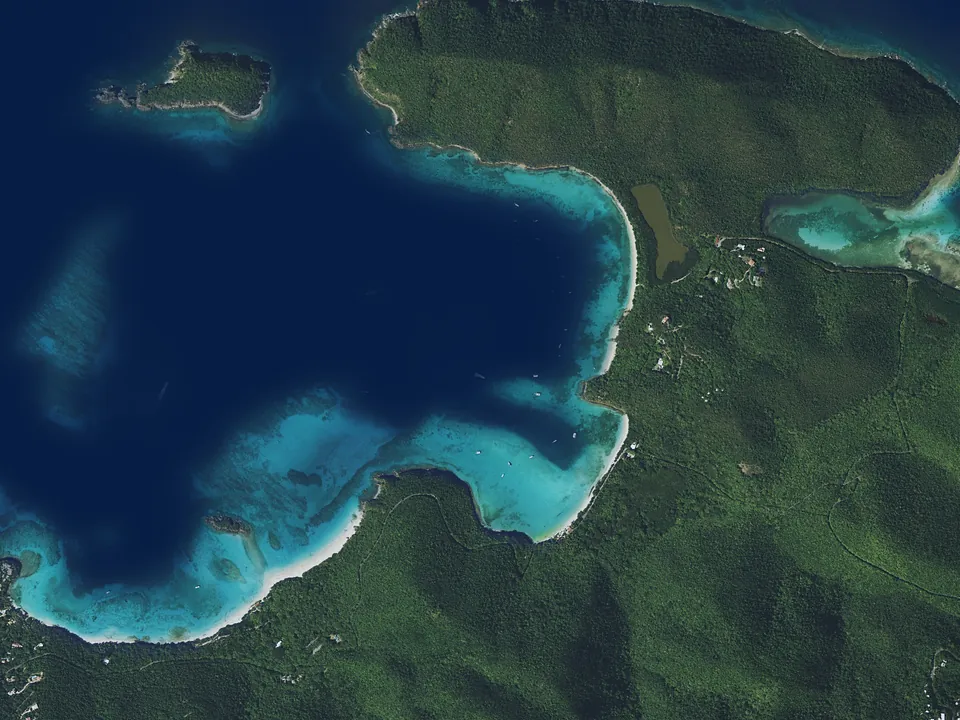
The chart above and each inset open onto a satellite view of the same water: drag the divider across it. Coastline from OpenStreetMap. Imagery is Sentinel-2 cloudless by EOX IT Services GmbH (contains modified Copernicus Sentinel data 2019), used under CC BY-NC-SA 4.0; and aerial photography flown in 2018 for the USGS and USDA National Agriculture Imagery Program, which is public domain. The open sea is toned to match the chart. None of it is for navigation.

S/V Moonstruck at anchor
Moonstruck at anchor

Between the anchorages

Short sails, park moorings, and a customs dock: the practical side of a week that stays close to home.

Distances
St. Thomas to St. John is a two-and-a-half-hour sail. The bays along St. John's north shore are minutes apart. A USVI week is one of long afternoons rather than long passages.
The national park
Two-thirds of St. John is Virgin Islands National Park, and overnight stays in its bays are on park moorings rather than anchors, which is why the seagrass and the reef are in the state they are.
Combining with the BVI
Tortola is in sight from St. John's north shore. Adding the British Virgin Islands means a clearance stop at West End going in and at Cruz Bay coming home. The sample itineraries show both shapes of week.
Getting here
Fly into Cyril E. King Airport on St. Thomas. Yacht Haven Grande is a short taxi ride away, and the boat is ready when you arrive.

Begin planning your Moonstruck voyage

Connect with a knowledgeable broker who can get you on board Moonstruck right away. Your future self thanks you.

Call Email Book